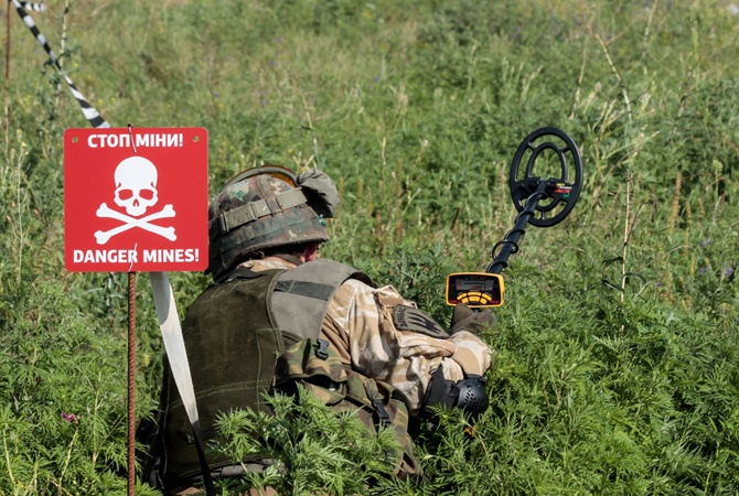
Ukraine is the world’s largest minefield. AI is now helping to clear it
- By Hope Seck
Share This Article

In the third year of its war of self-defense against an invading Russia, Ukraine has developed a reputation as a laboratory for battlefield innovation, from the way it employs drones and drone countermeasures to how it uses artillery. And close to the fight in eastern Ukraine, a nongovernment organization is employing artificial intelligence in a pilot program that may have life-saving implications for the entire world.
The HALO Trust, which has been working to clear mines from conflict zones for more than three decades, is applying AI to imagery captured by aerial drones to develop reliable identification profiles for landmines hidden within the terrain. Its work is partly enabled by Amazon Web Services (AWS), which gave the organization a $4 million grant in June to support secure storage of the vast amounts of data needed to build the profiles.
The location of the pilot program is deliberate. As of this year, Ukraine is considered the world’s largest minefield, with as many as two million mines scattered across the land and potentially as much as a third of the country requiring demining for safe habitation. As Vox explains, in a conflict, potentially fatal landmines result in a couple of ways: First, artillery, which has been a land weapon of choice on both sides of the fight, can leave behind active and unstable shells, known as unexploded ordnance, or UXO. Second, anti-tank and anti-personnel mines are placed deliberately to kill combatants on foot or in armored vehicles – and these pressure-triggered devices are just as much a threat to the civilian population as to the military.
Related: The Russian A-545: An oddball AK rifle in Ukraine

“As a very general point with Ukraine quickly becoming one of the most contaminated countries in the world, it’s the place where this technology can have the most impact,” Matthew Abercrombie, research and development officer at The HALO Trust, told Sandboxx News. “Even if we had all the resources in the world, it would still take a huge amount of time and effort to clear what’s being reported as the level of contamination. So anything we can do to narrow that down will have a huge impact on our ability to get the job done,” he added.
But there’s another reason, too, that Ukraine makes sense as a test bed for AI-based mine clearance, Abercrombie said. In the current conflict, a significant amount of placed mines are being laid on the surface of the ground, rather than dug into the ground. That allows the RGB cameras on the large commercial drones flown by The HALO Trust to capture their shape and characteristics. While the organization hopes to build in multispectral imaging eventually, which would help them capture evidence not visible to the naked eye, Ukraine offers a straightforward mine detection challenge.
As of late June, the organization had completed 542 drone flights totaling 11 terabytes of data, according to a published announcement. Flights have already been taking place for more than a year, Abercrombie told Sandboxx News, and the information they yield represents an overwhelming workload to human analysts. The information the organization collects is secure and not shared with other military or civil entities; the mine-clearing that follows identification is conducted largely by HALO’s 1,200 staff in Ukraine.
“It very quickly became apparent that the bottleneck is being able to analyze the imagery in time to make it useful,” he added.
Related: Ukrainian F-16 jets will have the same problem its Abrams tanks had says Zelenskyy

And there is a very clear time element: according to Jennifer Hyman, head of communications for HALO, the greatest number of civilian casualties from landmines typically take place as displaced residents try to return to their homes. The technology the organization is hoping to develop, she said, would also significantly accelerate the ability to spot human activity and signs of damage, providing insights on areas that are safer for human movement and return.
“Drone imagery covering maybe a couple of hectares would take a human analyst maybe two days to trawl through and identify,” Abercrombie said. “Whereas our best estimates for the machine learning models is that it could be [done] on the order of an hour.”
Training the AI to identify mines as well as a human analyst will take time and vast quantities of imagery – thousands of images of a single variant of anti-tank or anti-personnel mine, for example. Complicating matters, human rights observers have said Russia and Ukraine are using at least 13 different kinds of each kind of mine.
However, despite the size of the information collection task, HALO plans to have a first version of an AI mine-detection tool ready for distribution to its staff in Ukraine by the end of the year, according to Abercrombie. They’re also already looking ahead, to employing this technology in other minefields around the globe – places like Colombia, where mountainous terrain makes drone imagery a far more accessible option than human in-person identification.
Troublingly, Russia’s activity in Ukraine may create even more spaces for organizations like HALO to operate in: The Washington Post reported that some neighboring European countries, seeking to harden their own defenses, have been considering a return to using the cheap and deadly devices.
Read more from Sandboxx News
- The veteran and the beard – Like peanut butter and jelly
- Lockheed Martin’s new hypersonic missile can fit inside the F-22
- Navy wants to add decoys to its F-35s in preparation for a near-peer conflict
- SOCOM and Marines will get new machine gun that breaks the mold to replace old classic
- Video: The wild story behind America’s rocket-powered C-130s
Related Posts
Sandboxx News Merch
-

‘AirPower’ Classic Hoodie
$46.00 – $48.00Price range: $46.00 through $48.00 Select options This product has multiple variants. The options may be chosen on the product page -

‘Sandboxx News’ Trucker Cap
$27.00 Select options This product has multiple variants. The options may be chosen on the product page -

‘Kinetic Diplomacy’ Bumper Sticker (Black)
$8.00 Add to cart
Hope Seck
Hope Hodge Seck is an award-winning investigative and enterprise reporter who has been covering military issues since 2009. She is the former managing editor for Military.com.
Related to: Ukraine

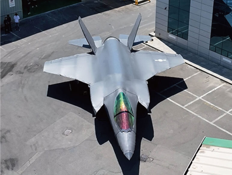
Viral video shows Korean company’s lifelike inflatable F-35 decoy

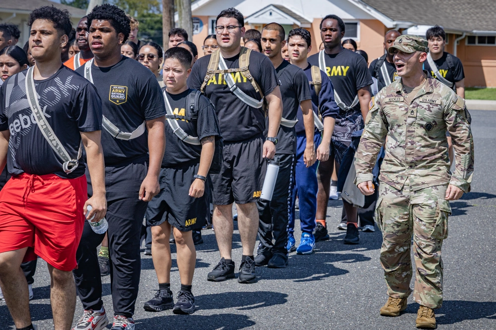
Which service did best in the military recruiting boom? The numbers are in

Ken Burns’ new documentary focuses on George Washington as genius military talent scout and motivator
Sandboxx News
-

‘Sandboxx News’ Trucker Cap
$27.00 Select options This product has multiple variants. The options may be chosen on the product page -

‘AirPower’ Classic Hoodie
$46.00 – $48.00Price range: $46.00 through $48.00 Select options This product has multiple variants. The options may be chosen on the product page -

‘AirPower’ Golf Rope Hat
$31.00 Select options This product has multiple variants. The options may be chosen on the product page -

‘Sandboxx News’ Dad Hat
$27.00 Select options This product has multiple variants. The options may be chosen on the product page
